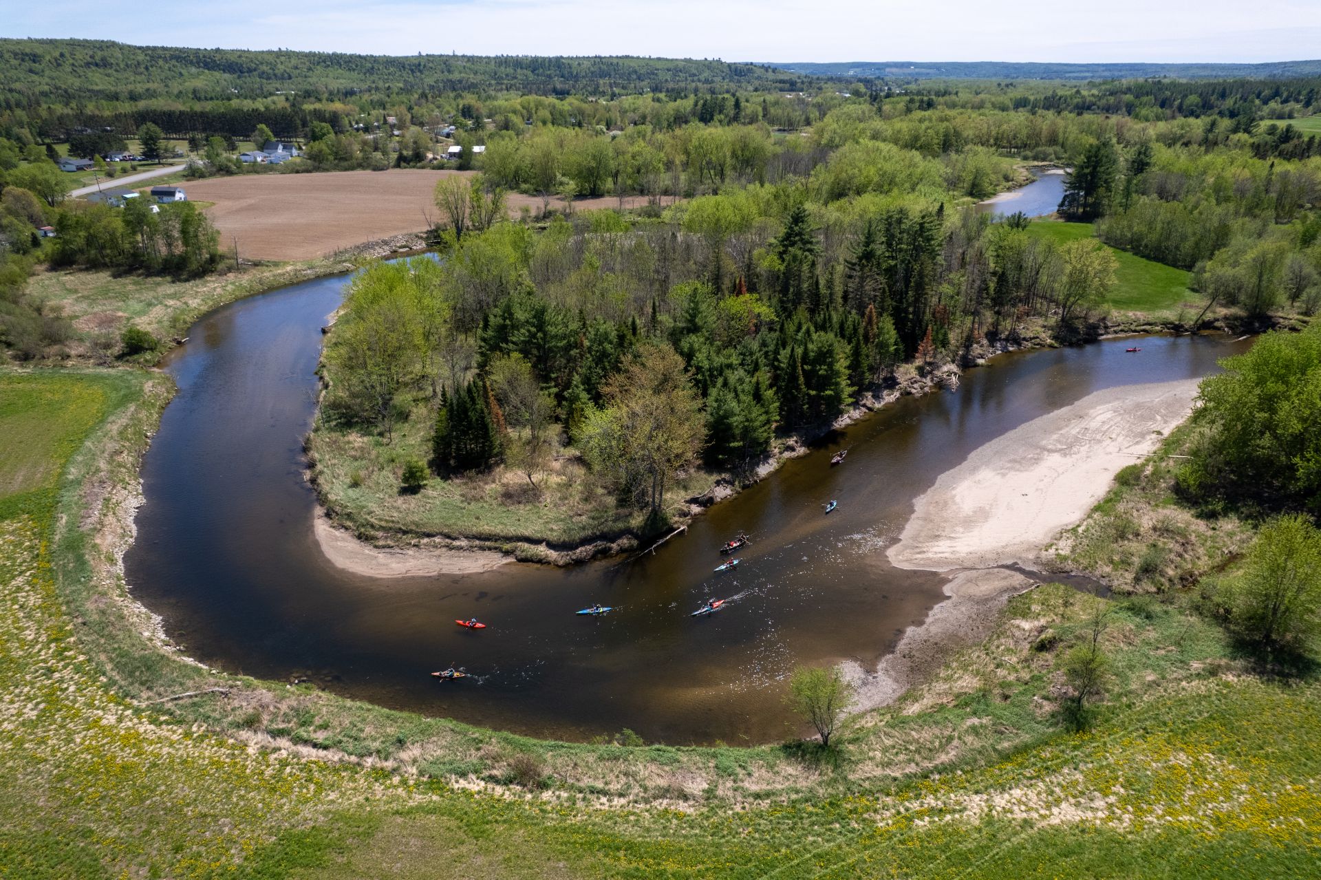
A Route of Endless Turns
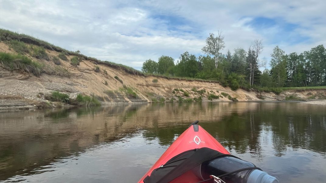
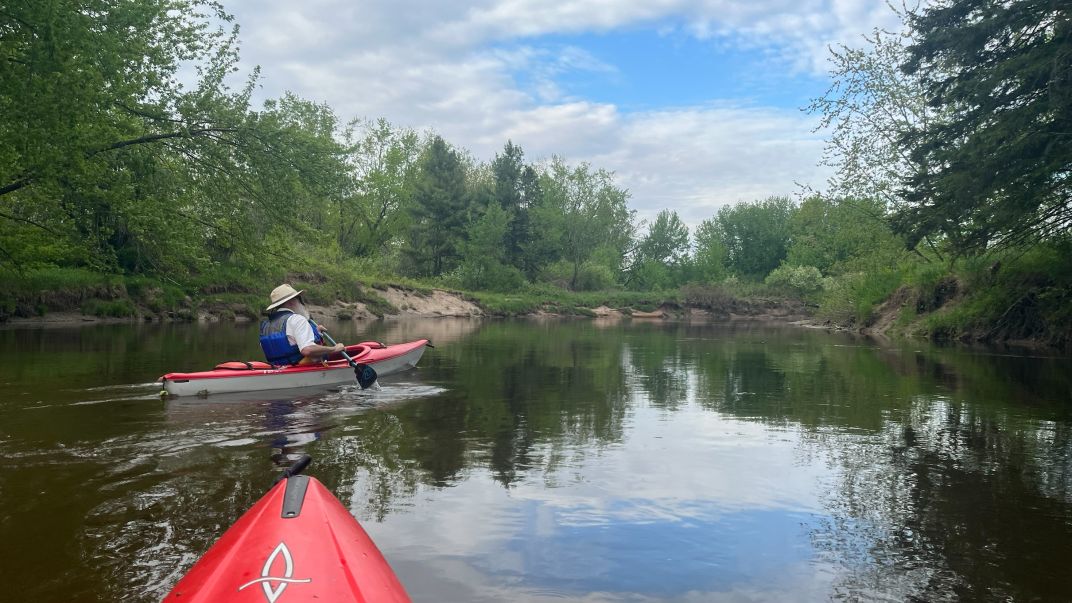
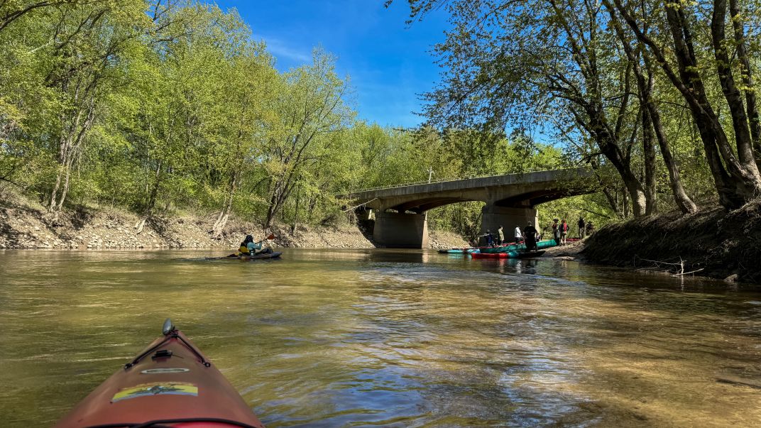
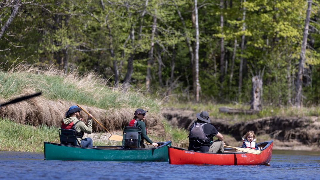
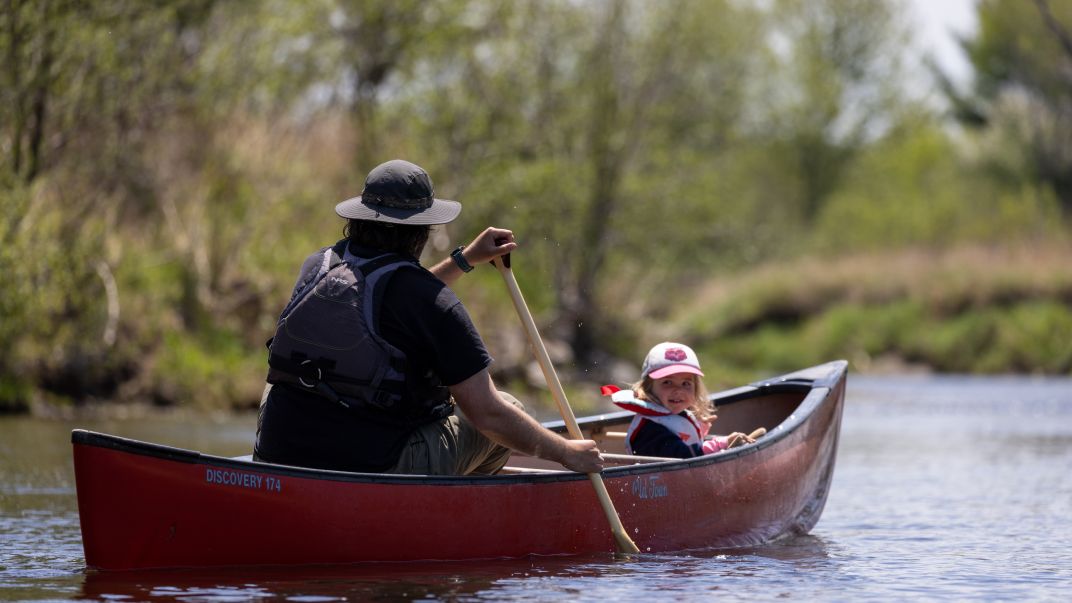
The Keswick River is a twisty, fun ride for intermediate paddlers on a narrow river with a consistent gentle current. This route, with dozens upon dozens of twists and turns, is a beautiful nature tour through the Keswick Valley, with it’s traditional agricultural landscapes with lovely, wooded sections.
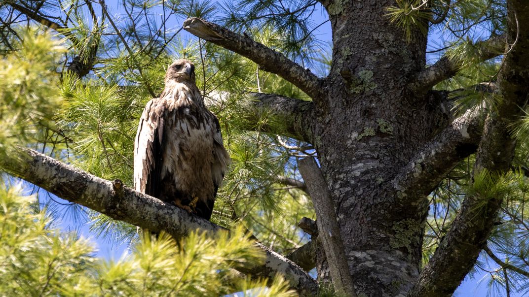
Many sandy beaches along the way make for great picnic stops and are home ground for sandpipers. The route is frequented by many eagles and herons.
The river is good fun for most paddlers, but the sandy banks mean there can be a lot of tree fall. Paddlers should be able to exercise directional control around these sweepers.
The complete 25 km route, running from Upper Stone Ridge Road bridge to the Route 105 Bridge on the lower river or the Central York municipal launch (soon after the confluence with the Wolastoq (Saint John River) is a full-day paddle and could take 8-10 hours. It is tackled in sections by most.
Key Highlights
- Community: Central York
- Route Type: Signature Route
- Number of Segments: 4
- Difficulty Level: Intermediate
- Total Distance: 25 km
- Seasonal Information: All-season, spring until late fall
The Keswick River can be run throughout most of the paddling season, but it can get too shallow later in the summer and in periods of drought. It’s best in spring through mid-summer or after some rain. In mid-to-late summer it can get shallow in places and may require walking a few sections. The lowest section of the river connecting to the Wolastoq (Saint John River) from the Route 105 Bridge is accessible all season long.
Upper Stoneridge Road to Route 104
Route 104 Bridge to Tripp Settlement Road
Tripp Settlement Road to Beach Area
Powerlines Beach at Pugh’s Crossing
Route 105 Bridge to Central York Wolastoq (Saint John River) Municipal Launch
Nearby Amenities
- Gas is available at Johnny’s Gas Bar